Nepal trekking guide: Where to trek on your Nepal trip
The number and diversity of trekking routes in Nepal is epic. But for this reason it can also be overwhelming to choose a trek route. So we put together this Nepal trekking guide. It’s aim is to help you decide where to trek on your next Nepal trip. 🙂
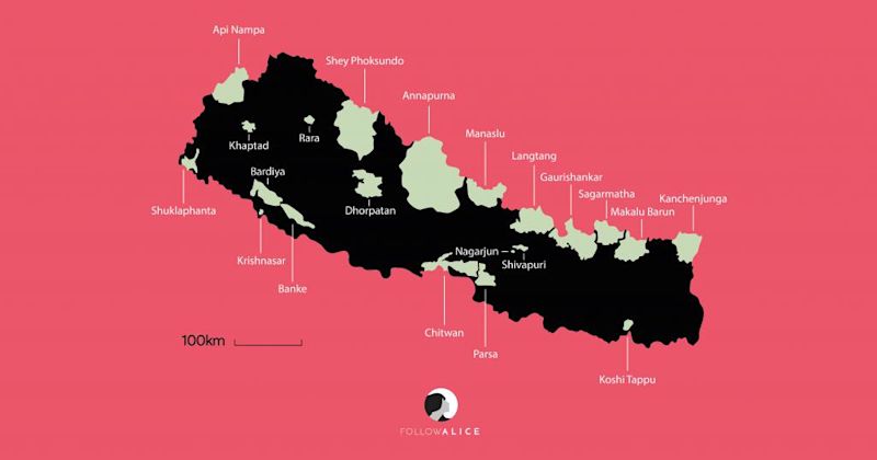
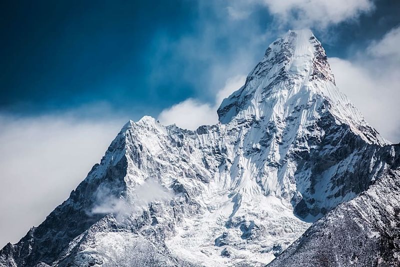
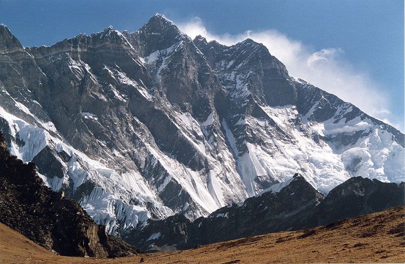
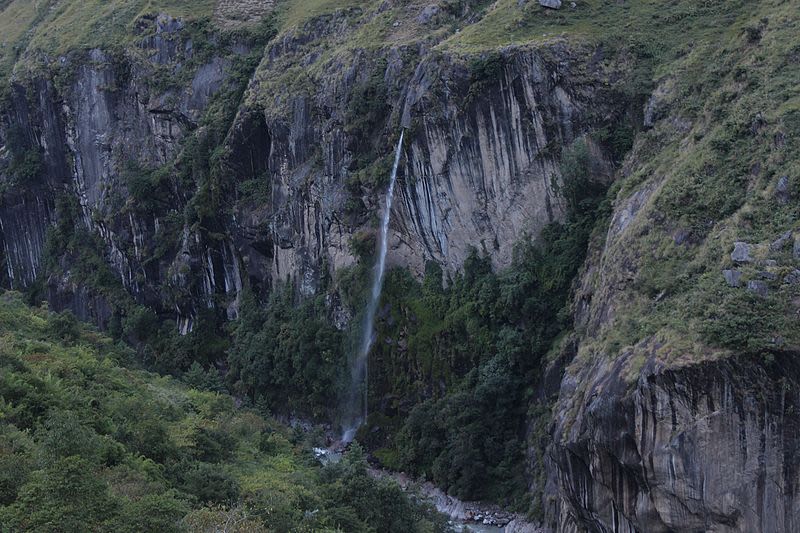
The Himalayas of Nepal
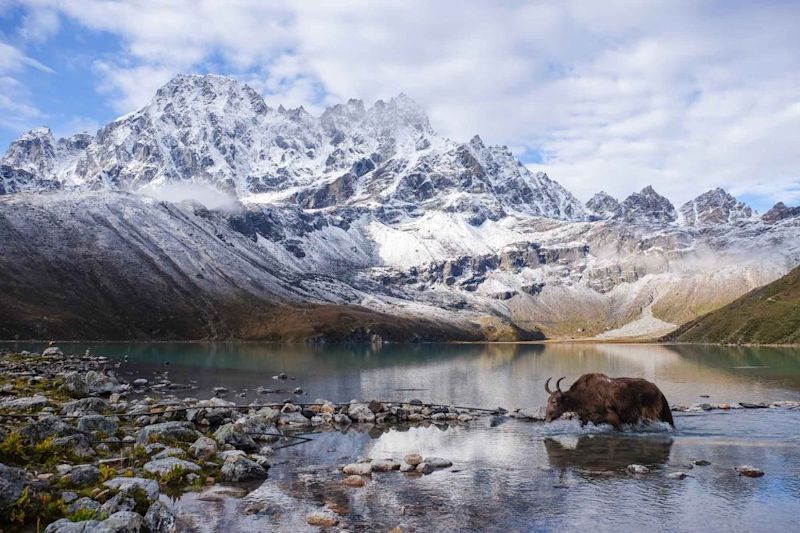
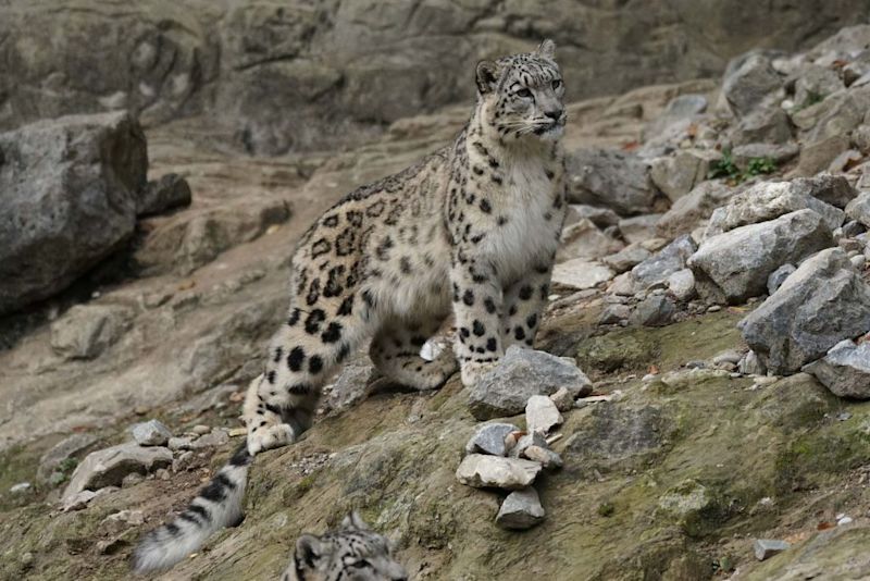
National parks of Nepal
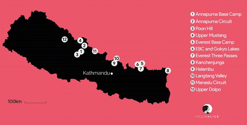
List of the 12 best treks in Nepal
Annapurna Conservation Area Annapurna Base Camp Annapurna Circuit Poon Hill Upper Mustang
Sagarmatha National Park Everest Base Camp Everest Base Camp and Gokyo Lakes Everest Three Passes
Kanchenjunga Conservation Area Kanchenjunga Circuit
Langtang National Park Helambu Circuit Langtang Valley
Manaslu Conservation Area Manaslu Circuit
Shey Phoksundo National Park Upper Dolpo
Map showing 12 of the best treks in Nepal
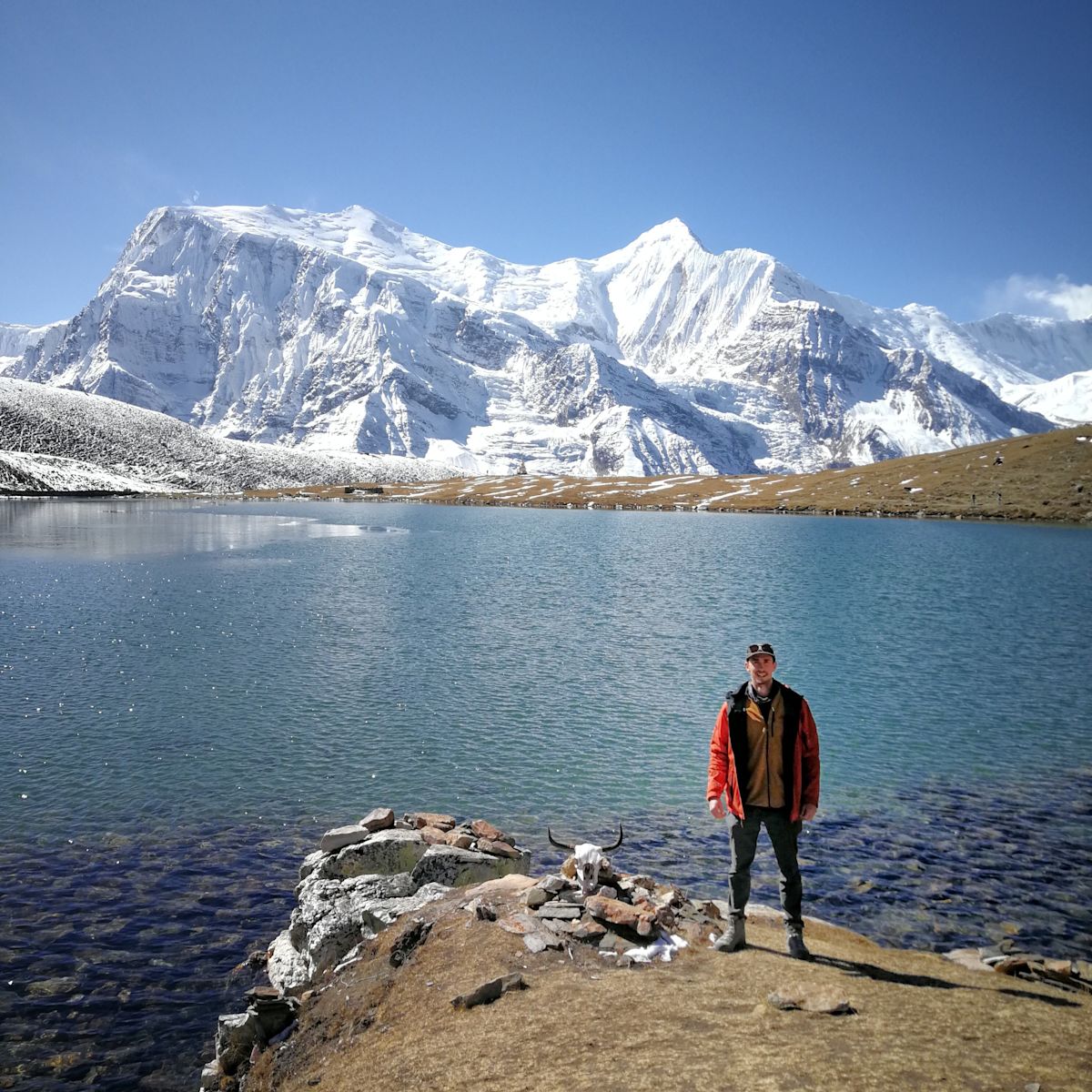
A note about altitude
Annapurna Conservation Area
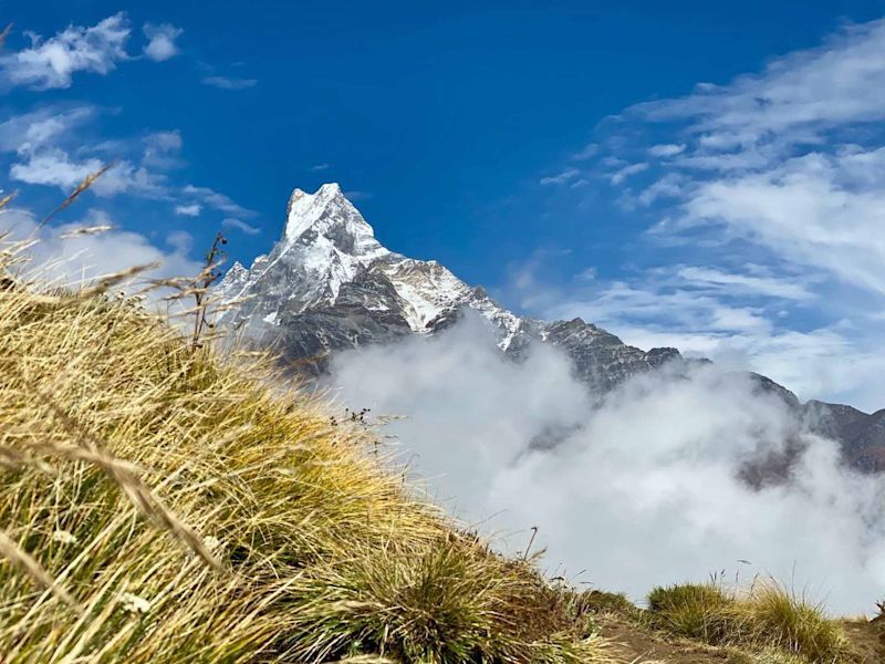
1. Annapurna Base Camp
Difficulty: Medium Distance: ±80 km Duration: 9-11 days Highest elevation: 4,190 m
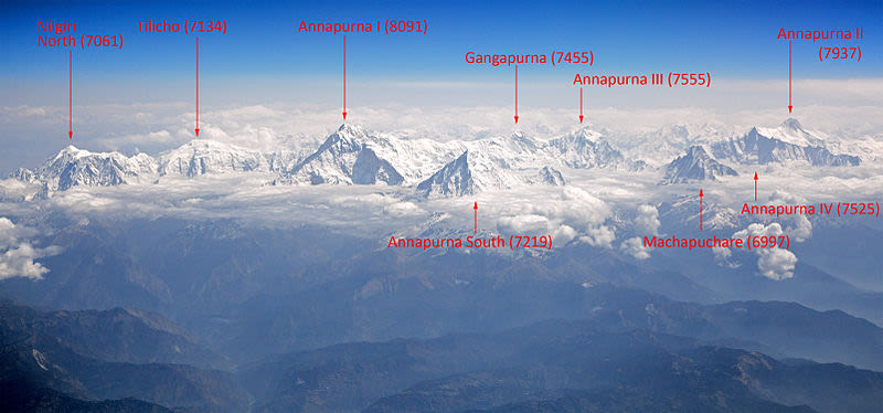
Machhapuchhre (6,996 m) Annapurna South (7,219 m) Gangapurna (7,454 m) Annapurna I (8,091 m) Annapurna III (7,555 m) Khangsar Kang (7,485 m)
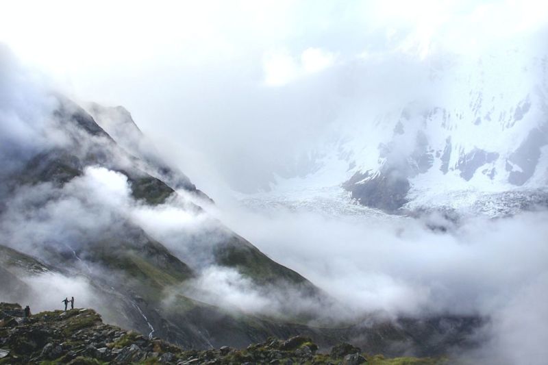
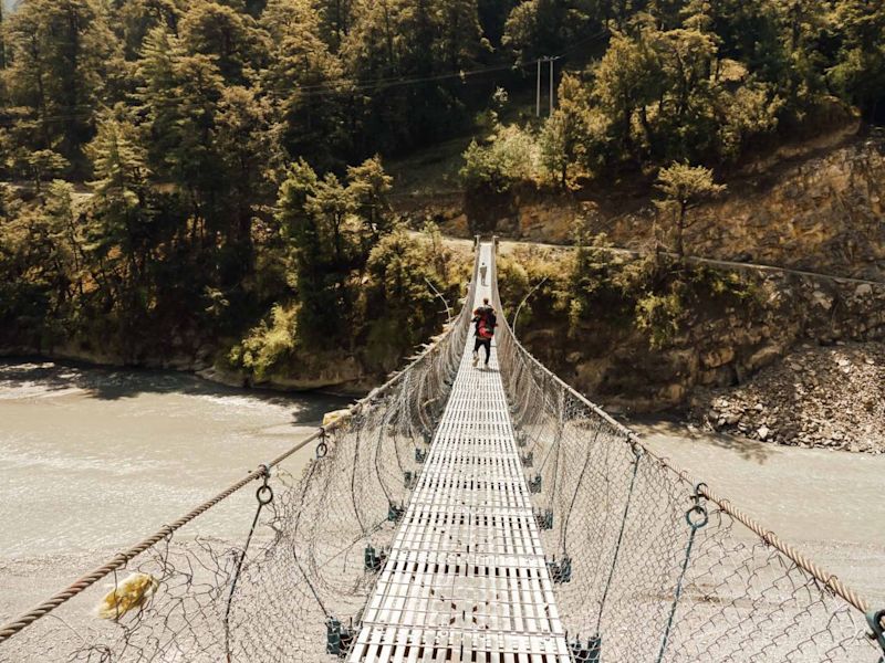
Reaching base camp ...
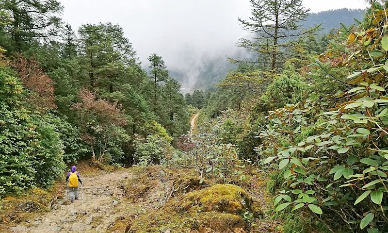
Autumn and spring are the best seasons for the Annapurna Base Camp trek. Go in winter, and you'll be crunching snow.
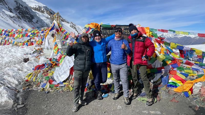
2. Annapurna Circuit
Difficulty: Medium Distance: Varies Duration: 6-21 days Highest elevation: 5,416 m
A varied route
The highest point on the trek route is snow-covered Thorung La Pass (5,416 m).
3. Poon Hill
Difficulty: Easy Distance: 51 km Duration: 5 days Highest elevation: 3,210 m
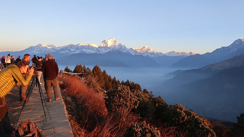
Standing on Poon Hill
You can combine the Annapurna Base Camp and Poon Hill treks to make one slightly longer, even more epic trek!
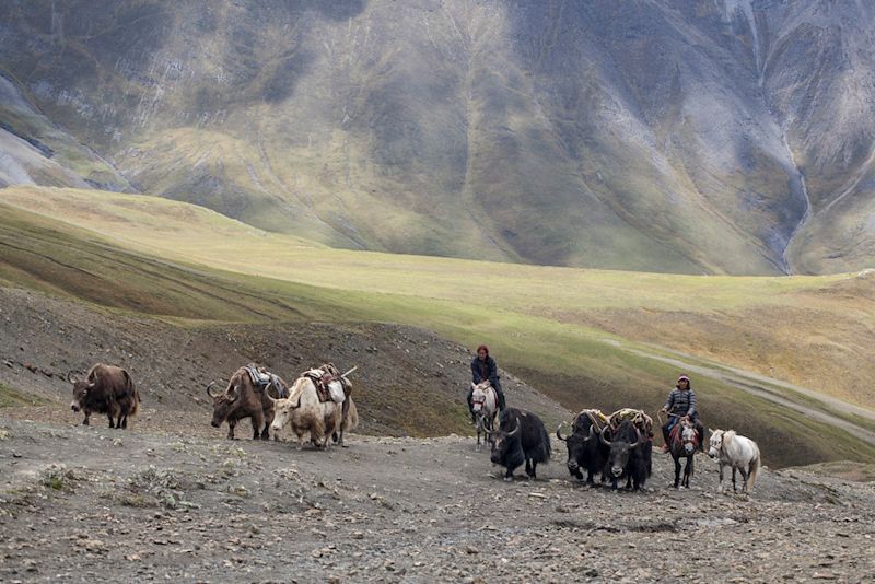
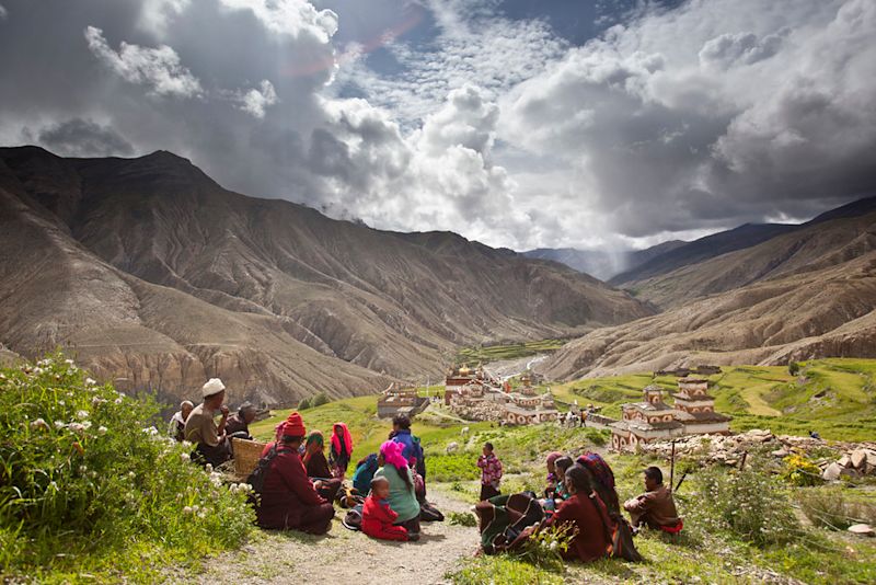
4. Upper Mustang
Difficulty: Moderate Distance: ±125 km Duration: 11 days Highest elevation: 4,090 m
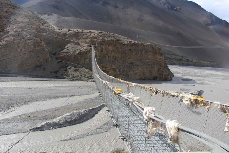
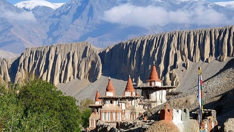
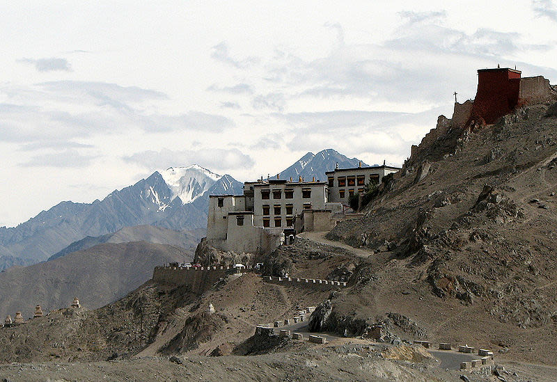
A distinct culture
This is a great trek if you appreciate stark, desolate and isolated places. The sorts of places you feel exist in spite of things.
Sagarmatha National Park
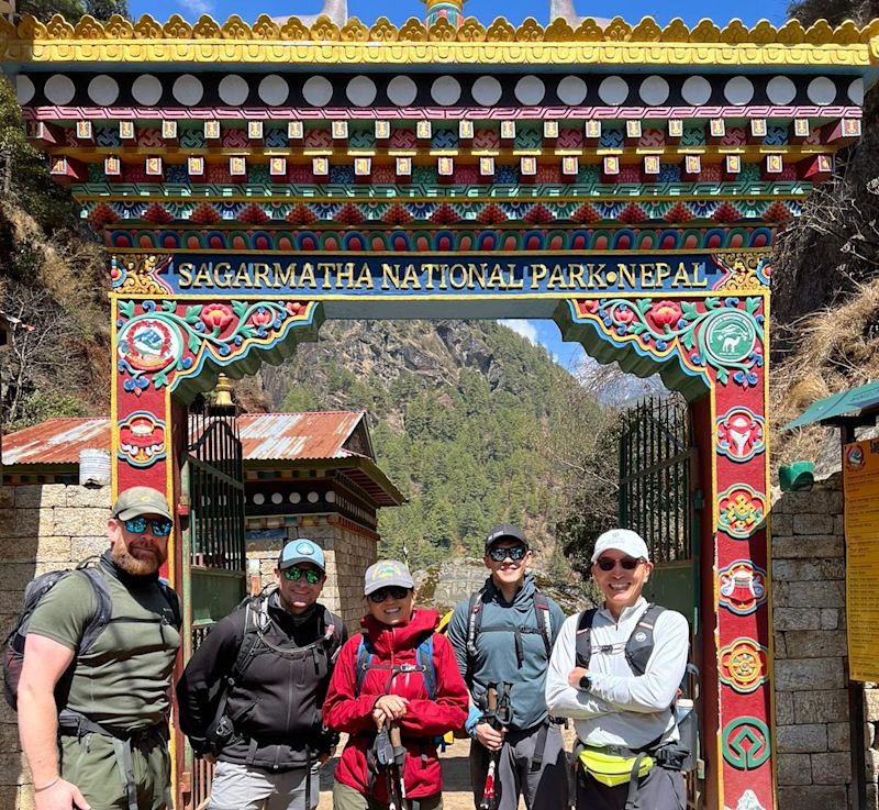
5. Everest Base Camp
Difficulty: Tough Distance: 130 km Duration: 15 days Highest elevation: 5,643 m

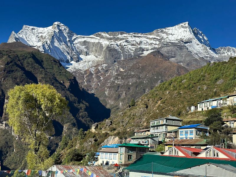
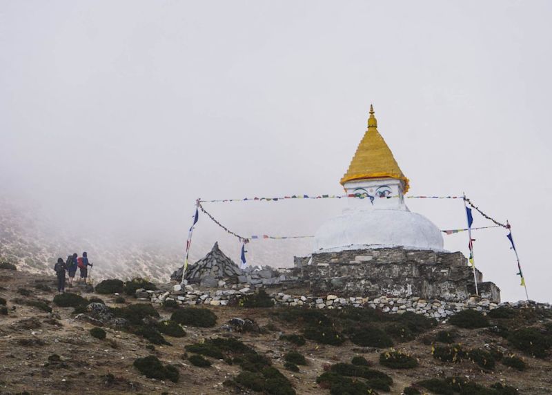
Namche Bazaar
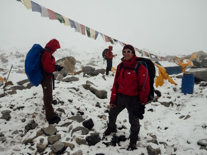
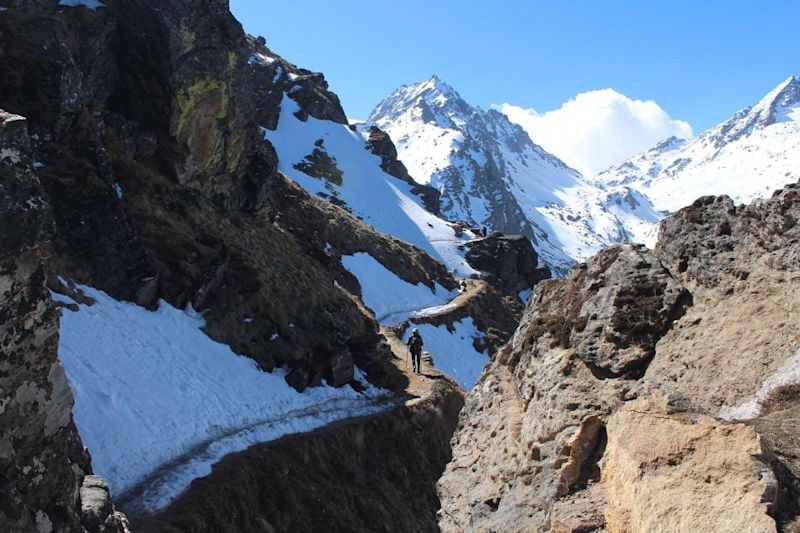
The air is very thin as you near Everest Base Camp and many people experience mild symptoms of altitude sickness.
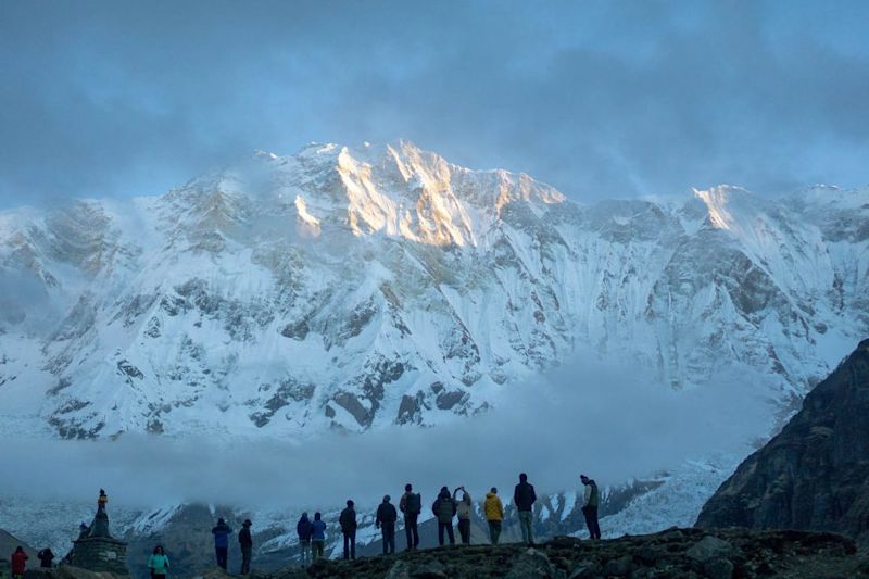
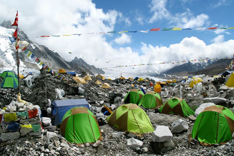
Everest Base Camp
6. Everest Base Camp and Gokyo Lakes
Difficulty: Tough Distance: 150 km Duration: 18 days Highest elevation: 5,643 m
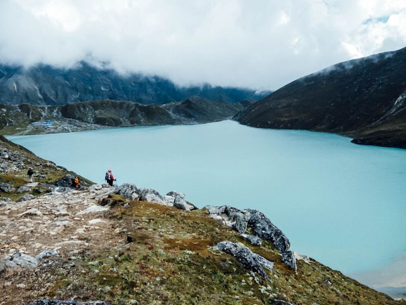
Gokyo Ri
Everest (8,848 m), the world’s mightiest and most famous mountain Lhotse (8,516), a hulking mountain and the world’s fourth highest peak Makalu (8,485 m), the world’s fifth highest mountain and part of the border with Tibet Cho Oyu (8 201 m), the world’s sixth highest mountain, which sits on the border with Tibet and whose name means “Turquoise Goddess” in Tibetan
The Gokyo Lakes
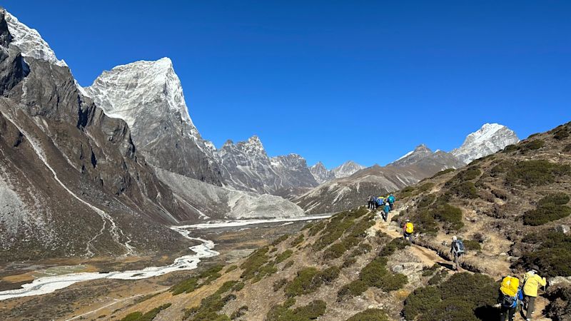
7. Everest Base Camp and Three Passes
Difficulty: Very tough Distance: 165 km Duration: ±18 days Highest elevation: 5,643 m
The Three Passes
Kongma La (5,550 m) Renjo La (5,360 m) Cho La (5,420 m)
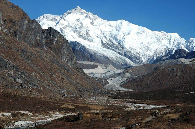
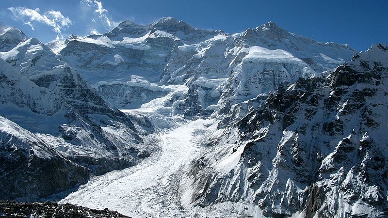
Kanchenjunga Conservation Area
8. Kanchenjunga Circuit
Difficulty: Very tough Distance: ±100 km Duration: ±18 days Highest elevation: 4,785 m
Kanchenjunga Main (8,586 m) Kanchenjunga West, or Yalung Kang (8,505 m) Kanchenjunga Central (8,482 m) Kanchenjunga South (8,494 m) Kangbachen (7,903 m)
Sele La Pass
A rough trail
You regularly hike for seven to 10 hours a day on the Kanchenjunga Circuit trek. This is a big part of what makes this trek so tough.
Langtang National Park
9. Helambu Circuit
Difficulty: Easy Distance: 70 km Duration: 6 days Highest elevation: 3,650 m
An easier trek route
have never been trekking before (or aren’t the strongest walker) and want to take on a relatively easy – yet still challenging and rewarding – trek route want to bring the kids along are nervous of the small airplanes folks heading to other trekking areas in Nepal must board (Helambu is a short drive from Kathmandu) don’t want to trek a route where the facilities are too rustic want to trek up into the mountains but don’t want to go too high and risk altitude sickness (you don’t go above 4,000 m)
10. Langtang Valley
Difficulty: Medium Distance: ±60 km Duration: 6 days Highest elevation: 4,773 m
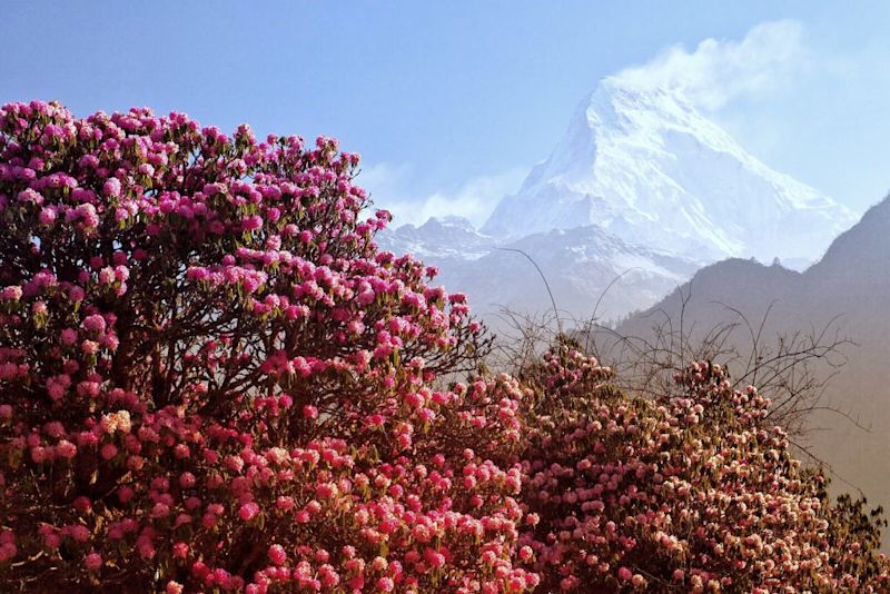
The best time of the year for the Langtang Valley trek is spring and autumn. The rhododendrons burst onto the scene in spring and are simply gorgeous.
Amazing views

Manaslu Conservation Area
11. Manaslu Circuit
Difficulty: Tough Distance: 177 km Duration: 12 days Highest elevation: 5,106 m
An ancient trade route
Larkya La Pass
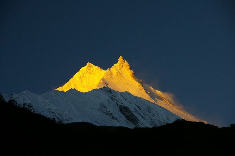
The summit of Mt Manaslu is a sharp peak that pierces the sky and gives it a distinctive profile.
Shey Phoksundo National Park
12. Upper Dolpo
Difficulty: Very tough Distance: Varies Duration: 13-21 days Highest elevation: 5,190 m
A tough trek
The Upper Dolpo trek provides some teahouse accommodation, but many opt to camp. The campsires are picturesque and pleasant.