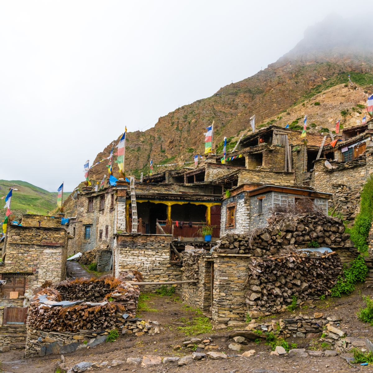
Traditional architecture in the ancient Tibetan Nar village, Annapurna Conservation Area, Nepal

What's the elevation gain on the Nar–Phu and Annapurna Circuit?

Feb 15, 2024
Reading time: 3 minutes

Your total elevation gain on the Nar–Phu and Annapurna Circuit is a massive 3,256 m or 10,682 ft. Here's the super scenic route we follow, including the elevation gain or loss involved each day, all the better to prepare yourself mentally and physically.
As we describe in Nar–Phu and Annapurna Circuit trek route, this epic trek into one of the remotest sections of the Annapurna mountains takes you into deep valleys and up and over two high mountain passes. It also includes a fantastic day hike up to Himlung Himal Base Camp.

As such, your days are spent ascending and descending some truly beautiful and dramatic landscapes. So what are the elevation gains and losses each day along the route, as well as your total elevation gain?

Here are the answers ...

Total elevation gain on the Nar–Phu and Annapurna Circuit

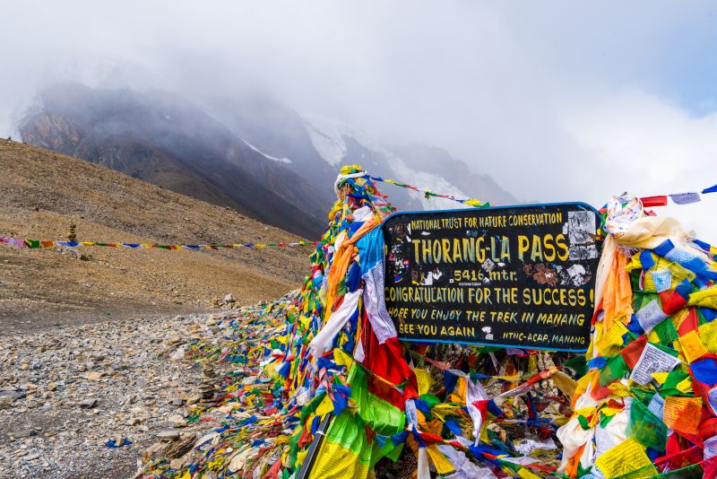
Your starting point on the Nar–Phu and Annapurna Circuit trek – which is also its lowest point – is the village of Bagarchhap at 2,160 m (7,087 ft) above sea level. Your highest point is on the last day when you cross the mountain pass known as Thorung La, which is 5,416 m (17,769 ft) above sea level.

A simple calculation reveals that your overall elevation gain on the Nar–Phu and Annapurna Circuit is therefore 3,256 m (10,682 ft). Whew!

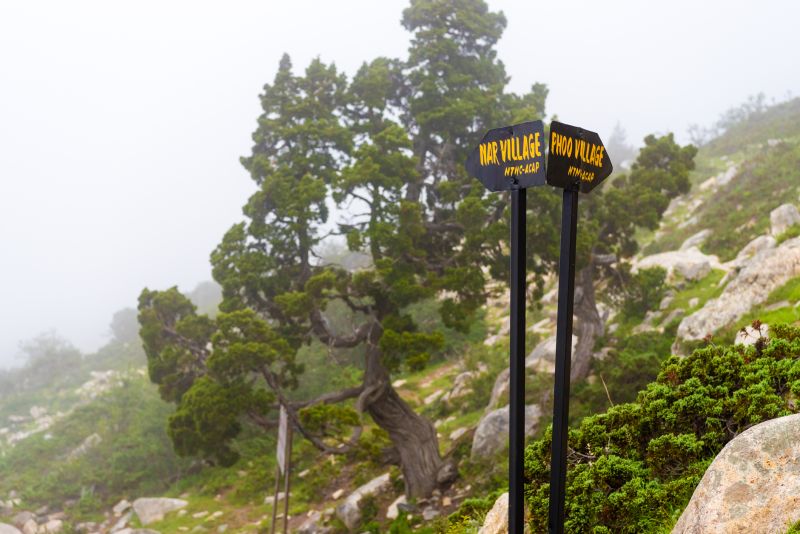
signs pointing to Nar and Phu (Phoo) villages on Nar–Phu and Annapurna Circuit, Nepal trekking

As you can see, the village of Phu can also be spelled Phoo

By comparison, the traditional Annapurna Circuit route offered by Follow Alice has a total elevation gain of roughly 2,000 m. So the Nar–Phu extension route is certainly for the fitter crowd. But if you're up for it, we highly recommend doing the longer trail, as you meet more remote and traditional communities and also enjoy more varied scenery.

Daily elevation changes on the Nar–Phu and Annapurna Circuit

The tables below show the altitude gain (or loss) of each day along the Nar–Phu and Annapurna Circuit route – first in metres, then in feet.

Daily elevation changes in metres


Overnight elevation

Day 1

Koto (2,600 m)

Day 2

Meta (3,560 m)

Day 3

Phu (4,070 m)

Day 4

Roundtrip hike to Himlung Himal Base Camp (4,842 m)

Day 5

Nar Phedi monastery (3,550 m)

Day 6

Nar (4,110 m)

Day 7

Ngawal (3,615 m) via Kang La (5,240 m)

Day 8

Manang (3,540 m)

Day 9

Yak Kharka (4,110 m)

Day 10

Thorung Phedi (4,600 m)

Day 11

Ranipauwa (3,700 m) via Thorung La (5,416 m)


Thorung La sign and prayer flags, Annapurna Circuit, Nepal

Thorung La is the highest point on the Nar–Phu and Annapurna Circuit

Daily elevation changes in feet


Overnight elevation

Day 1

Koto (8,530 ft)

Day 2

Meta (11,680 ft)

Day 3

Phu (13,353 ft)

Day 4

Roundtrip hike to Himlung Himal Base Camp (15,886 ft)

Day 5

Nar Phedi monastery (11,647 ft)

Day 6

Nar (13,484 ft)

Day 7

Ngawal (11,860 ft) via Kang La (17,191 ft)

Day 8

Manang (11,614 ft)

Day 9

Yak Kharka (13,484 ft)

Day 10

Thorung Phedi (15,092 ft)

Day 11

Ranipauwa (12,139 ft) via Thorung La (17,769 ft)


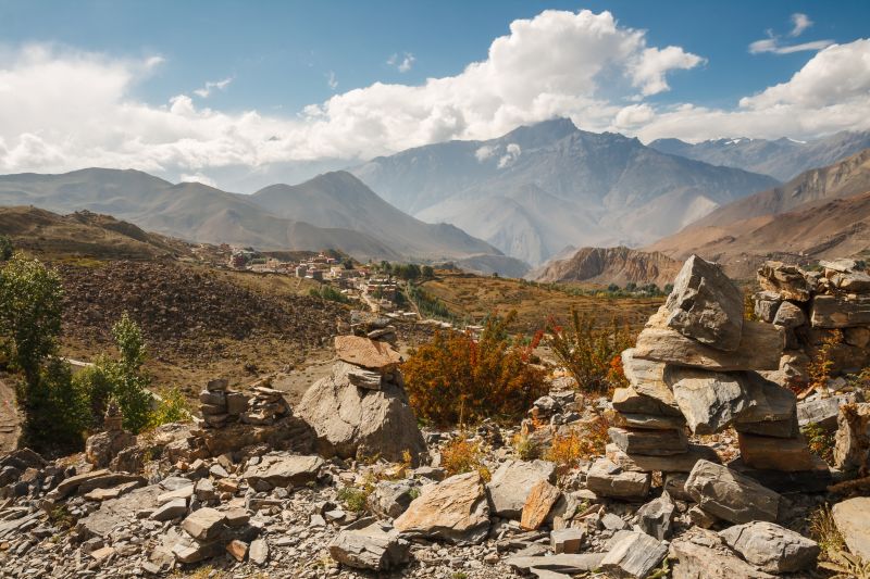
Himalayan landscape, cairns on background of mountain ranges and village of Ranipauwa. View from Muktinath Monastery, Lower Mustang, Nepal

You finish the trek in the small town of Ranipauwa

If you're interested in trekking the Nar–Phu and Annapurna Circuit, check out our itinerary and feel feel to drop us a line if you have any queries!